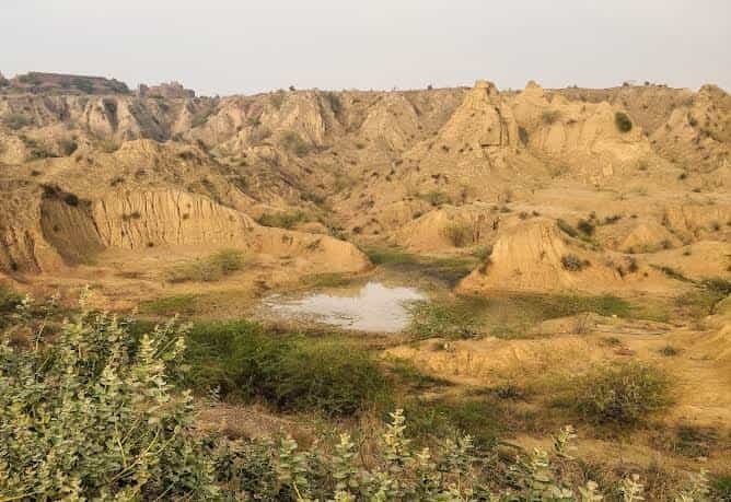
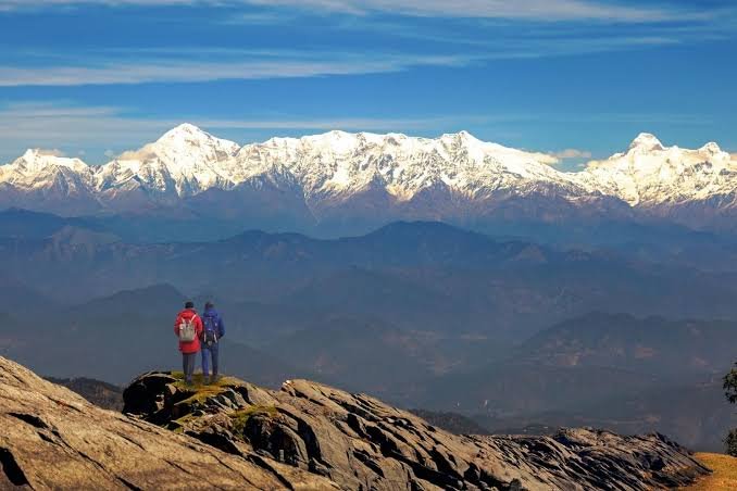
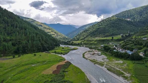
Bordered by Manipur to the east, Bangladesh to the west, Mizoram to the south, and the Barail hills to the north, Barak Valley is a genuinely distinct corner of Assam — a Bengali-speaking, Sylheti-dialect region built around the Barak River that feels culturally closer to Sylhet than to the Brahmaputra plains most people associate with the state. Anchored by Silchar, Assam’s second-largest city and nicknamed the “Island of Peace,” the valley spans three districts — Cachar, Karimganj, and Hailakandi — and functions today as much as a gateway to Mizoram, Manipur, and Tripura as it does a destination in its own right, with archaeological ruins, riverside temples, and tea-garden countryside worth a stop before continuing further into the hills.
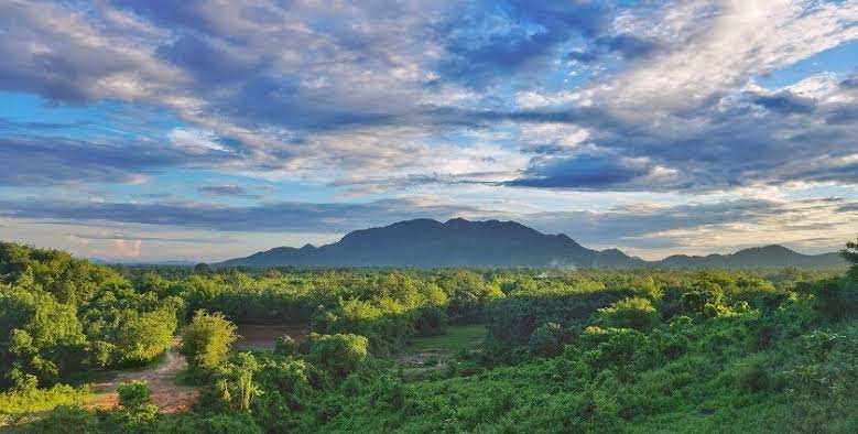
Barak Valley: Quick Facts
| Aspect | Details |
| Location | Southern Assam (Cachar, Karimganj, Hailakandi districts) |
| Main City | Silchar (Cachar district headquarters), Assam’s second-largest city |
| River | Barak River (known as Surma in Bangladesh) |
| Dominant Language | Bengali (Sylheti dialect); roughly 90% of Silchar’s population |
| Nickname | “Island of Peace” (Silchar) |
| Bordering Regions | Manipur, Mizoram, Bangladesh, Barail Hills (Dima Hasao) |
| Nearest Airport | Silchar (Kumbhirgram) Airport |
| Best Time to Visit | October to March (November-February most comfortable) |
| Avoid | June to September (heavy monsoon, flooding, landslide risk) |
| Annual Rainfall | Approx. 3,000 mm (roughly 146 rainy days) |
| Key Attractions | Khaspur Ruins, Kachari Fort, Kancha Kanti Devi Temple, Maniharan Tunnel |
| Nearby Extension | Haflong (Dima Hasao district), including Jatinga and Panimoor Waterfalls |
| Ideal Trip Duration | 2-4 days |
Things to Do in Barak Valley
Barak Valley’s attractions blend history, riverside sightseeing, and religious sites, mostly concentrated around Silchar with a few worthwhile drives further out.
- Explore Khaspur Ruins: Roughly 20 km from Silchar, these remnants of the Dimasa Kingdom include the Lion Gate, Sun Gate, an ancient temple, and stone carvings offering genuine archaeological interest.
- Visit Kachari Fort: A historical site within Silchar itself, tied to the region’s Dimasa royal past and worth an hour or two of exploration.
- See Shri Kancha Kanti Devi Temple: A significant local temple, particularly lively during Durga Puja and Kali Puja, drawing large crowds during these festival periods.
- Walk Across Sadarghat Bridge: A key crossing over the Barak River, known for its architecture and panoramic river views.
- Visit Maniharan Tunnel: One of Silchar’s notable landmarks, commonly included in a standard 2-3 day city itinerary.
- Stop at ISKCON Temple: Located in Silchar’s Ambica Patty neighbourhood, this Krishna temple is a popular stop for both sightseers and local devotees.
- Extend to Haflong: While technically in neighbouring Dima Hasao district, Haflong Lake, Jatinga (known for its unusual bird phenomenon), and Panimoor Waterfalls are commonly combined with a Barak Valley trip.
- Relax at Gandhibagh Park: A quieter, more casual stop for those wanting a break from sightseeing amid Silchar’s town-centre attractions.
Best Time to Visit Barak Valley
Given Barak Valley’s heavy monsoon exposure and its role as a gateway to hill-state travel, timing significantly affects both comfort and connectivity.
- November to February: Widely considered the most comfortable window, with daytime temperatures around 10-25°C, calm rivers, and reliable roads over the hills — ideal for both local sightseeing and onward travel toward Mizoram or Manipur.
- October and March: Solid shoulder-season options, still warm and mostly dry with lower flooding risk than the wetter months, though humidity begins climbing by late March.
- April to June (Summer): Moderate temperatures around 25-35°C, still workable for sightseeing though increasingly humid as the season progresses.
- June to September (Monsoon): Best avoided, since Cachar district sees roughly 3,000 mm of annual rainfall concentrated heavily in this stretch, with the Barak River prone to rising quickly, the town susceptible to flooding, and the single road-and-rail link over the Dima Hasao hills prone to landslides.
- Festival Timing: The Bhuban or Shivaratri mela (around Maha Shivaratri) and the Kachakanti temple’s Durga Puja and Kali Puja days offer the liveliest cultural experience, though these also bring the heaviest crowds.
How to Reach Barak Valley
Silchar functions as the practical entry point for the entire valley, with reasonably good air and improving rail connectivity given its role as a regional hub.
- By Air: Silchar (Kumbhirgram) Airport is the main gateway, though flights can be limited in frequency and occasionally weather-affected, so building buffer time into your travel plans is wise.
- By Train: Silchar Railway Station connects to major Indian cities, with the route through the Dima Hasao hills offering scenic, if occasionally landslide-prone, travel.
- By Road: Silchar is connected by national highways to Guwahati and the broader Northeast road network, though the hill stretch through Dima Hasao district requires caution during monsoon months.
- Local Travel Within the Valley: Karimganj and Hailakandi, the valley’s other two districts, are reachable from Silchar by road, typically within a few hours depending on the specific destination.
- Onward Connections: From Silchar, road routes continue toward Aizawl (Mizoram), Imphal (Manipur), and Agartala (Tripura), making it a genuinely useful base for a wider Northeast itinerary.
Barak Valley as a Gateway to the Northeast
Beyond its own attractions, Barak Valley’s real practical value for many travellers lies in what it connects to, and planning around this adds real efficiency to a longer Northeast India trip.
- Onward to Mizoram, Manipur, or Tripura: Silchar serves as a common staging point for travellers continuing to Aizawl, Imphal, or Agartala, making a short Barak Valley stop a natural bridge rather than a dead-end detour.
- Permit Requirements for Onward States: Mizoram, Nagaland, and Manipur all require an Inner Line Permit for Indian nationals, so arranging this in advance saves time if you’re using Barak Valley as a launch point.
- Buffer Days Matter: Given limited flight frequency out of Kumbhirgram and the landslide-prone hill road and rail link, building at least one buffer day into your itinerary turns a potential missed connection into a minor delay rather than a disrupted trip.
- Combining Silchar with Haflong: Since Haflong sits along the same hill route, many travellers extend their Barak Valley stay by a day or two to include Jatinga and Panimoor Waterfalls before continuing further into the Northeast.
FAQs
Q1. Is Barak Valley culturally different from the rest of Assam, and does that affect what I should expect as a visitor?
Yes, genuinely — the region is predominantly Bengali-speaking with a distinct Sylheti dialect, unlike the Assamese-majority Brahmaputra Valley, so expect a different culinary, linguistic, and cultural flavour, particularly noticeable during local festivals and in everyday food.
Q2. Can Barak Valley be visited as a standalone trip, or does it work better combined with other Northeast destinations?
Both work, but given its role as a natural gateway to Mizoram, Manipur, and Tripura, most travellers get more value by combining a short 2-3 day Barak Valley stop with onward travel, rather than treating it purely as an isolated destination.
Q3. Why should I avoid the monsoon months specifically, beyond just general rain discomfort?
Beyond discomfort, the monsoon genuinely disrupts logistics here — the Barak River can rise quickly and flood parts of the town, and the single hill road-and-rail link connecting the valley to the rest of Assam becomes prone to landslides, directly affecting your ability to travel in or out reliably.
Q4. If I’m planning to continue to Mizoram or Manipur from Barak Valley, what should I arrange in advance?
Sort your Inner Line Permit for Mizoram, Manipur, or Nagaland well before arrival, since Indian nationals need this for entry, and combine that planning with a buffer day around your Silchar departure given the region’s occasionally weather-affected flight and road connections.